-
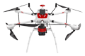
Inspection | Security | Logistics
-
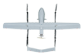
Forestry丨Surveying & Mapping
-

Fully Automated 24/7 Operations
-

Smart Command & Control Hub
Integrated Air-Space-Ground Solutions for Industry
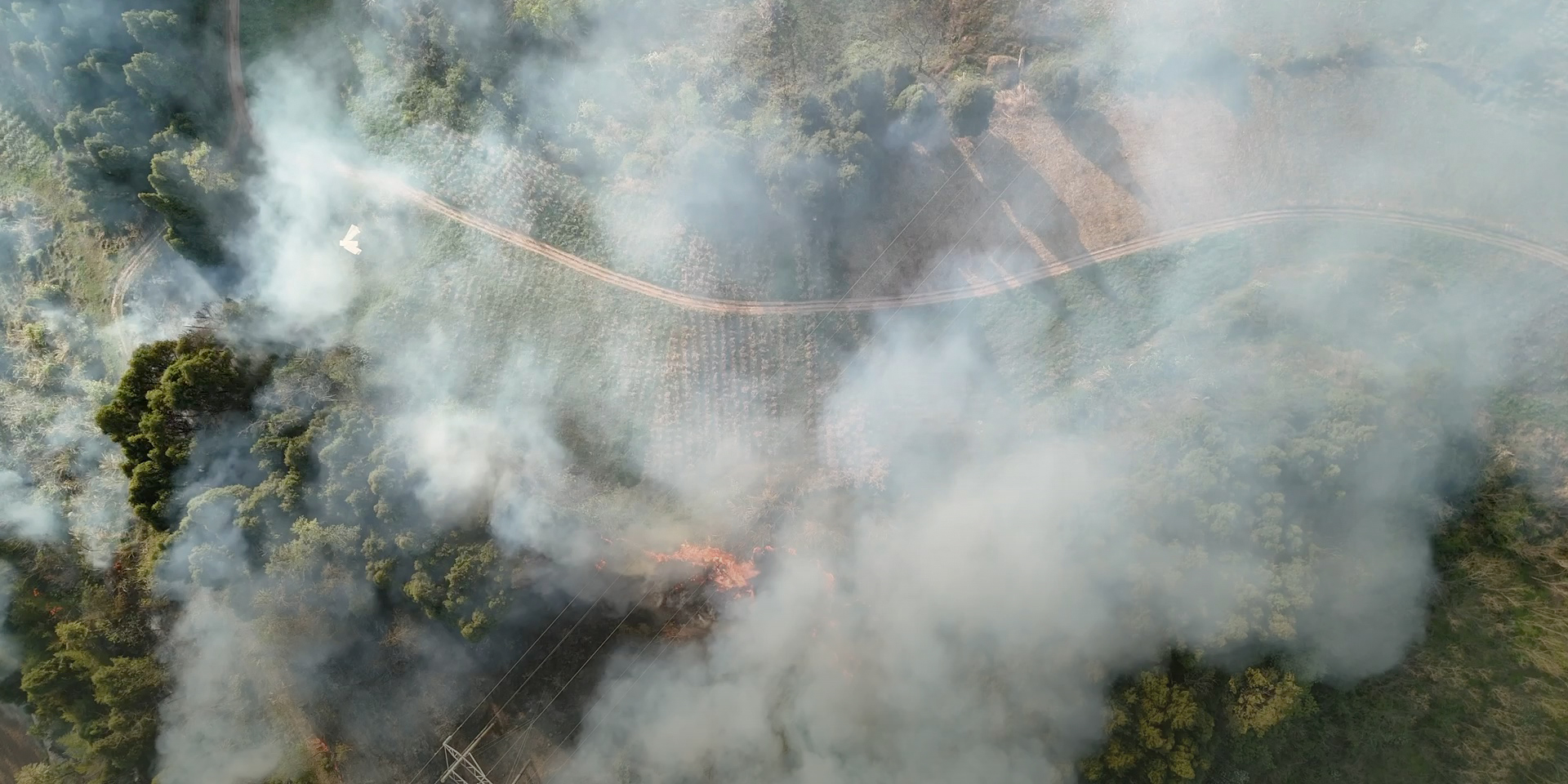
Traditional forest and grassland fire patrols lack an efficient early warning and monitoring system, relying solely on lookout towers and manual patrols, which struggle to cover the high-frequency dynamic changes in dense forest areas. Low network signal coverage in remote regions causes significant delays in fire reporting. In responding to forest fires, large machinery cannot access the terrain, and manual efforts lack effective suppression measures, resulting in low efficiency and high danger. The application of UAVs provides a brand-new solution for forest and grassland firefighting. Equipped with infrared thermal imagers and forest fire extinguishing projectiles, the TIM UAV can quickly scan forest fire hazards and respond rapidly, improving operational efficiency by over 90%.
Based on industry operational requirements and targeting traditional operational pain points, we create scientific and efficient industry application solutions.

Limited patrol coverage
In complex environments, personnel are unable to reach certain areas, making it impossible to gain a comprehensive panoramic view of the scene.

High risk
Patrol and firefighting operations in complex environments carry extremely high risks.

Low efficiency of traditional operations
In forest fires, large machinery cannot access the terrain, resulting in low efficiency of manual patrol and firefighting operations.

High labor and time costs
Large patrol areas and complex terrain in forests consume significant manpower and time.
Based on real-world operational requirements and UAV application characteristics, break down the solution steps to make the solution implementable and more reliable.
Forest and grassland patrol
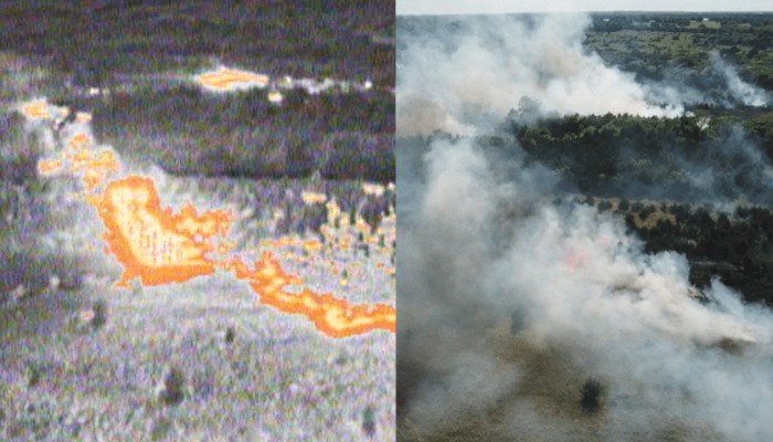
Equipped with a three-sensor or four-sensor gimbal payload. Use the visible light camera to present a panoramic view of the area. Rapidly scan heat sources with thermal imaging and zoom in to inspect potential hazards. Quick, efficient, and panoramic detection of fire hazards.
Rescue and response operations
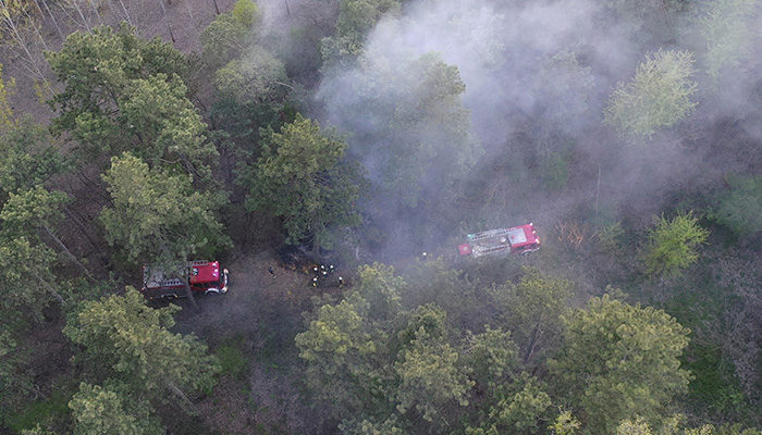
Using the TIM high-payload UAV equipped with forest fire extinguishing projectiles and other devices.
In the early stages of a fire, suppress the fire source or address potential hazards to prevent the fire from spreading.
At the rescue site, the UAV can be equipped with a loudspeaker payload or other functional payloads to promptly coordinate and direct personnel on the ground.
Carry emergency supplies to provide timely replenishment at the rescue site.

Post-disaster analysis
The UAV transmits pre-disaster patrol data and in-disaster reconnaissance and rescue information in real time to the remote command and control center.
The data is compared, analyzed, and processed through the cloud platform.
Assisting in identifying hazard sources and analyzing their causes.
Establish a forest and grassland fire early warning database.
Over 2,000 real-world validations — building industry UAV solutions that are effective, easy to use, and reliable in critical moments.

Comprehensive and efficient patrol
Large-area inspection can be completed in a short time. Infrared thermal imaging identifies fire hazards in real time, and panoramic images are quickly generated remotely, improving patrol efficiency by 90%.

Reduced operational risks
Fully replaces manual patrols, quickly reaches areas inaccessible to personnel, and greatly reduces operational risks in complex environments.

Superior environmental adaptability
Military-grade product quality ensures stable flight and safe operation in adverse weather conditions such as high winds, rain, snow, and extreme cold, as well as in complex terrains like plateaus and mountainous areas.

Round-the-clock standby, ready at any time
Operable both day and night. An unattended smart drone station can be deployed to enable automatic charging, automatic battery swapping, and autonomous flight — a fully intelligent workflow, ready around the clock.
UAV
TIM-D35 VTOL Fixed-Wing UAV
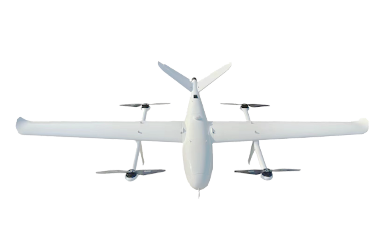
Endurance: 180 minutes (with 5kg payload)| Cruising range ≥ 300 km
Meets the requirements of large-scale operations
TIM-X260 Firefighting UAV
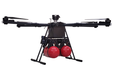
High Payload丨Firefighting
50kg丨30min
TIM-W20 Inspection UAV
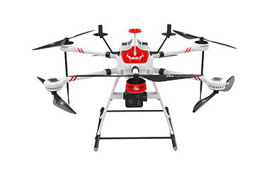
Regular Inspection丨Line Patrol
8kg丨55min
CABIN
Resupply Projectile
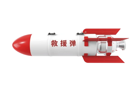
Carry and deploy various rescue supplies
GROUND DEPLOYMENT
TIM-A20 Vehicle-Mounted UAV Dock
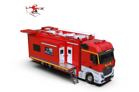
Mobile Launch, Forward Command
SOFTWARE
VALIDATED ACROSS 2,000+ REAL-WORLD DEPLOYMENTS
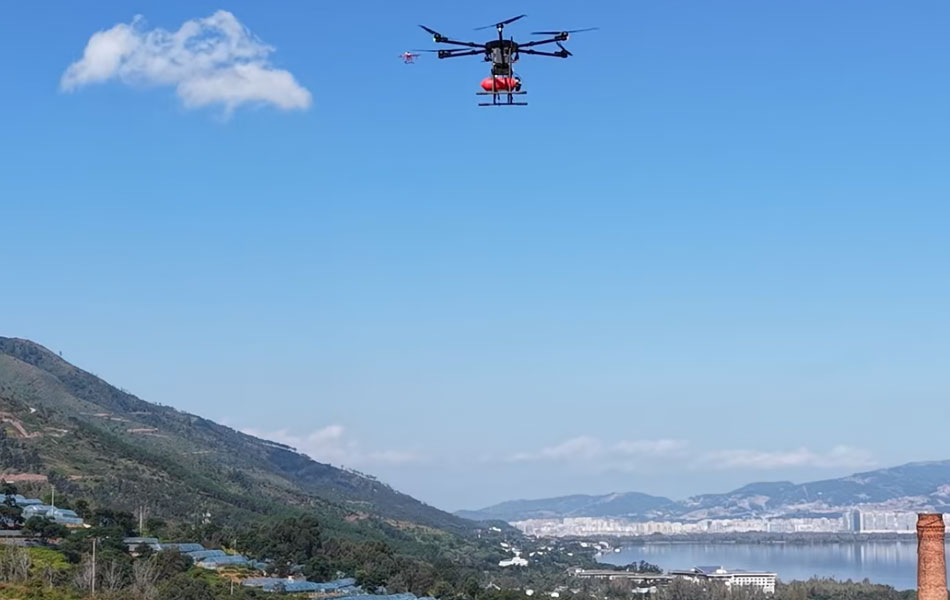
Liangshan Forest Firefighting Drill
EFFECT
CHENGDU TIMESTARS CO , LTD s low‑altitude solution has been deployed in Yanyuan County, Liangshan Prefecture, integrating the technical solution into the daily forest and grassland fire prevention and fighting work of Liangshan Prefecture It establishes a closed loop of "routine inspection — precise identification — rapid firefighting — post‑disaster assessment — long‑term prevention and control ", thereby comprehensively enhancing the prefecture s ability to respond to and handle forest and grassland fires
COPYRIGHT © 2016 Times Starlight All Rights Reserved 蜀ICP备14012971号-1