-
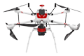
Inspection | Security | Logistics
-
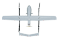
Forestry丨Surveying & Mapping
-
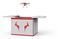
Fully Automated 24/7 Operations
-

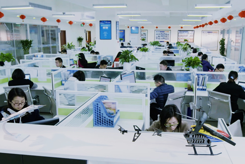
Smart Command & Control Hub
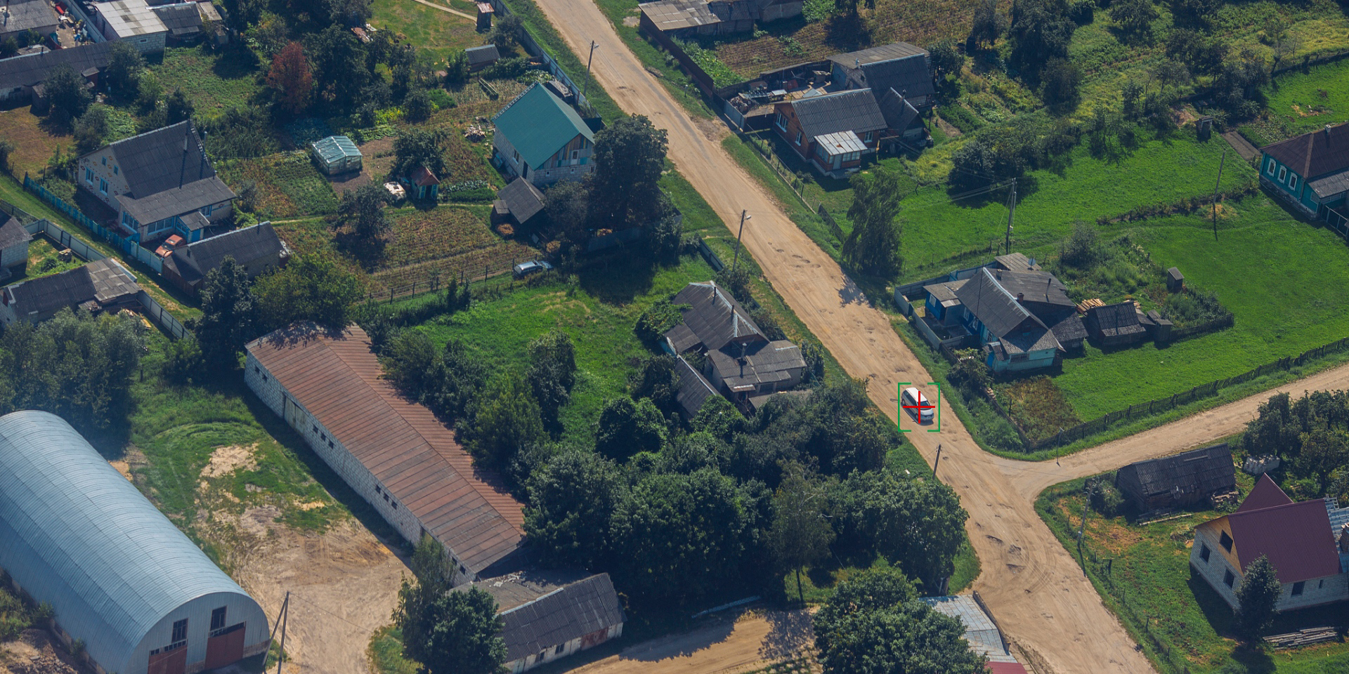
TIM UAV Military and Police Reconnaissance Solution
By building an intelligent, networked, and integrated unmanned reconnaissance system, it aims to become the 'Eye in the Sky' for modern military and police forces, significantly enhancing their capabilities in intelligence acquisition, command decision-making, and operational execution in complex environments. This is a key step towards future intelligent warfare and smart policing.
Based on industry operational requirements and targeting traditional operational pain points, we create scientific and efficient industry application solutions.

High personnel risk
Close-range reconnaissance is highly susceptible to exposure to enemy fire, resulting in high casualty risks, and is even more difficult to carry out in nuclear, biological, or chemically contaminated areas.

Limited reconnaissance perspective
Ground personnel and high-rise observation posts have limited fields of view, making it impossible to obtain a global, overhead situational picture. It is also difficult to grasp the internal conditions of complex terrain.

Long deployment cycle
From receiving intelligence to dispatching reconnaissance personnel or vehicles to the scene takes a considerable amount of time, which can easily cause one to miss the critical window of opportunity.

Poor concealment
Large reconnaissance equipment or concentrated personnel activity is easily detected by the opposing side, leading them to relocate or take countermeasures in advance.
Based on real-world operational requirements and UAV application characteristics, break down the solution steps to make the solution implementable and more reliable.
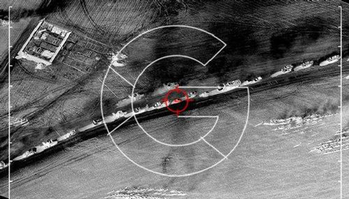
Target Recognition
Equipped with electro-optical gimbals, LiDAR, multi-spectral/hyperspectral imagers, and other devices.
Achieve all-weather reconnaissance, target identification and localization.
Underground structure or chemical contamination detection, etc.
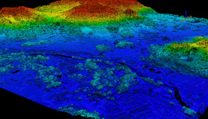
3D spatial mapping
Equipped with LiDAR or oblique photography pod.
Penetrate vegetation and quickly generate high-precision 3D terrain/building models.
Provide precise map support for assault operations.
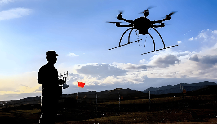
Signal reconnaissance
Signal reconnaissance: detect, locate, and identify communication signals from mobile phones, walkie-talkies, etc., as well as radar signals.
And can be equipped with signal analysis equipment or jamming devices.
Analyze its modulation mode and frequency hopping pattern, and locate the signal source.
Jam or spoof the signals to disrupt the enemy's communication system.
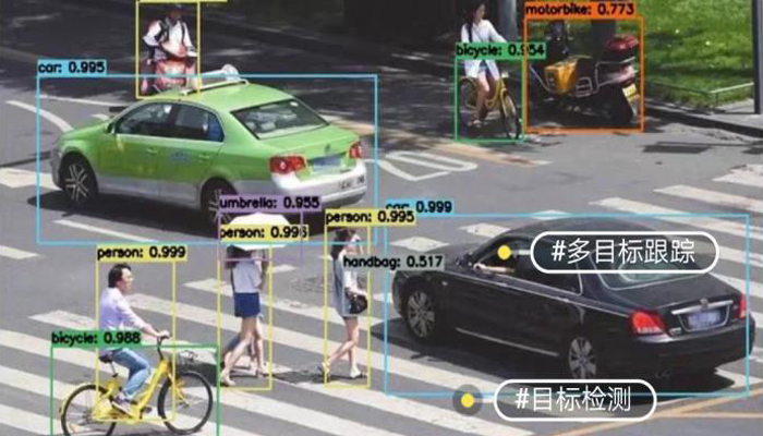
Search, Capture and Tracking
Search and pursuit
Tracking and pursuit using thermal imaging cameras or radar equipment.
Real-time tracking and positioning of personnel and vehicles.
And transmit the real-time location and route back to the command center.
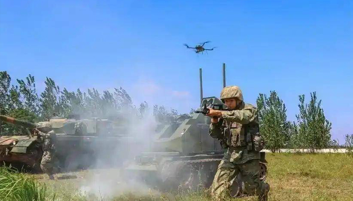
Strike support
Capable of carrying loudspeakers, searchlights, tear gas launchers, or small emergency supplies.
Carry out non-lethal attacks or provide rescue support.
It can also carry strike equipment to provide aerial fire suppression.
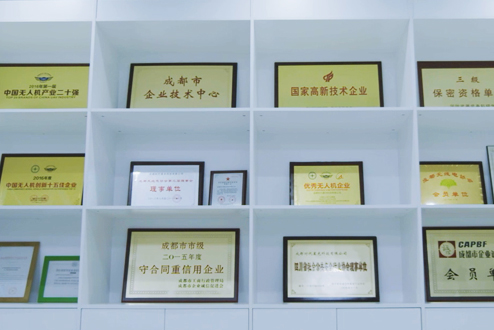
Over 2,000 real-world validations — building industry UAV solutions that are effective, easy to use, and reliable in critical moments.

Comprehensive
Achieving full coverage from high-altitude strategic reconnaissance to ground tactical reconnaissance.

Real-time capability
Intelligence acquisition and transmission are nearly delay-free, supporting real-time decision-making.

Precision
Combining AI with high-precision payloads to achieve accurate target identification and localization.

Flexibility
Multiple platform options, quick configuration based on mission requirements, and flexible deployment.
UAV
CABIN
GROUND DEPLOYMENT
SOFTWARE
COPYRIGHT © 2016 Times Starlight All Rights Reserved 蜀ICP备14012971号-1