-
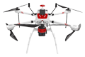
Inspection | Security | Logistics
-
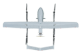
Forestry丨Surveying & Mapping
-
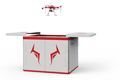
Fully Automated 24/7 Operations
-

Smart Command & Control Hub
Designed and developed according to industry needs, suitable for multi-industry and multi-scenario applications.
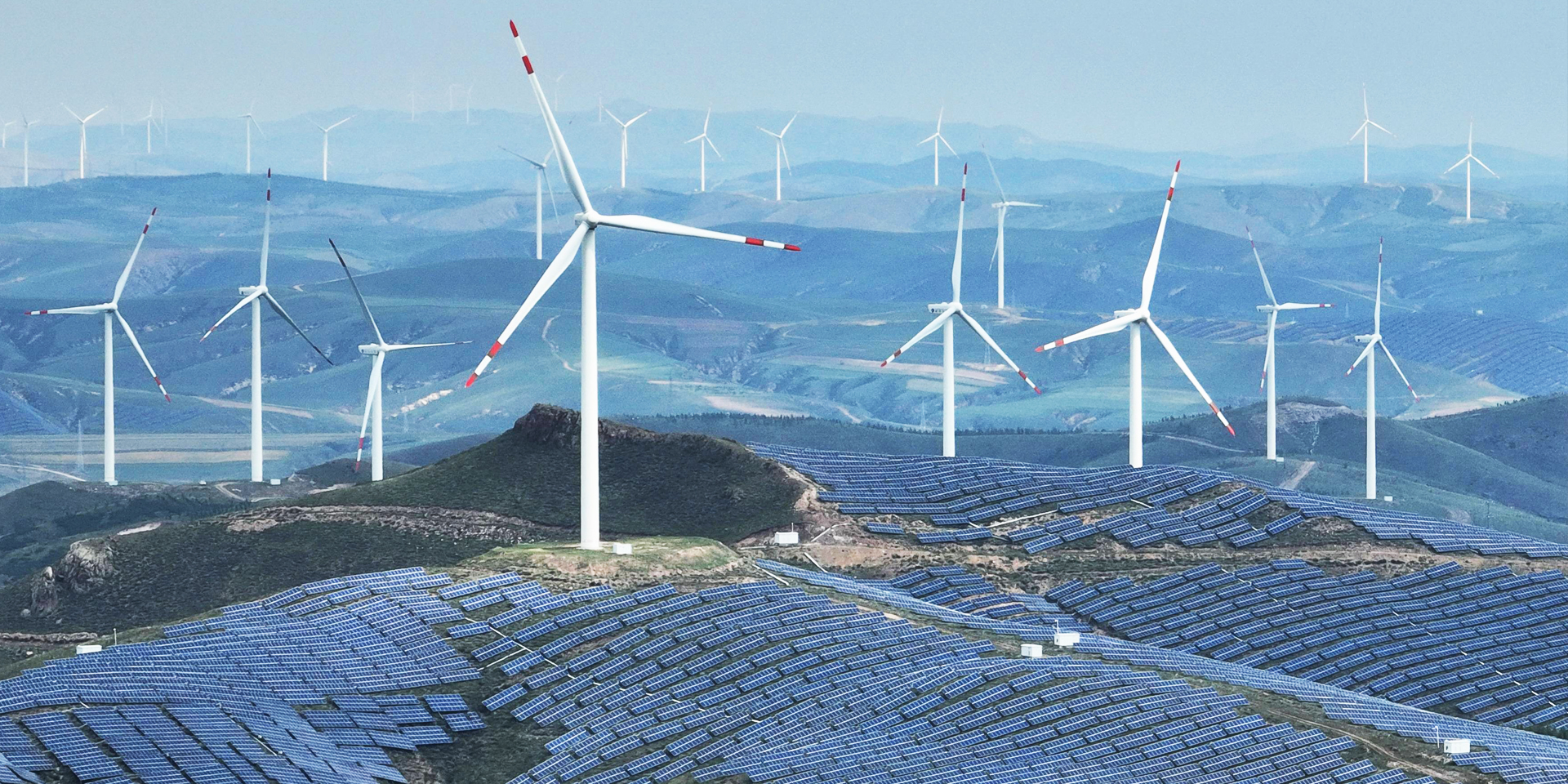
Large-scale wind farms and photovoltaic power stations are often located in sparsely populated areas. Traditional manual inspection is inefficient and poses high safety risks, and relying on manual operations makes it difficult to achieve data-driven management. UAV inspection precisely addresses the core pain points of wind and solar power stations: wide distribution, tall equipment, low efficiency of manual inspection, and high risks.
Based on industry operational requirements and targeting traditional operational pain points, we create scientific and efficient industry application solutions.

High safety risks
Wind turbine equipment is tall, requiring manual inspection to involve climbing or high-altitude lifting, and is greatly affected by weather conditions.

Low inspection efficiency
Large-scale station manual inspection is time-consuming, and thermal imager sampling is prone to omissions.

Highly subjective
Highly subjective

Dispersed and unstructured data
Lack of unified digital archives, which is detrimental to asset management and performance evaluation.
Based on real-world operational requirements and UAV application characteristics, break down the solution steps to make the solution implementable and more reliable.
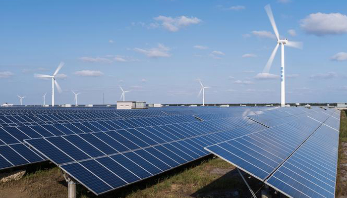
Remote planning and deployment
Through the deployment of the TIM-A300 unattended system.
Achieve remote UAV control, remote mission and route planning.
A single drone dock can cover an area of dozens of square kilometers.
Meet the inspection requirements of large-scale wind and solar power stations.
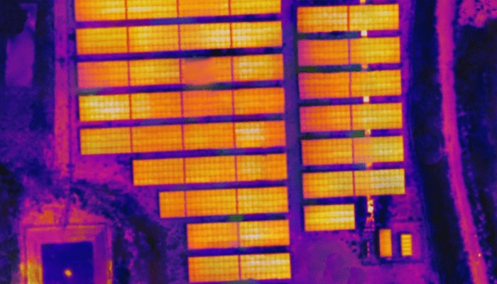
Automated data collection
By equipping high-definition visible light and infrared thermal imaging cameras.
Accurately capture defects such as cracks, porosity, corrosion, oil contamination, and lightning damage.
Detect abnormal heating points in components such as electrical connectors, gearboxes, and generators.
And optionally equipped with LiDAR and other devices to generate 3D terrain models of the surrounding area.
Analyze blade deflection and tower verticality.
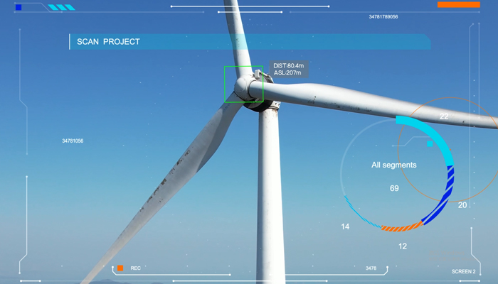
Data processing
Data is transmitted back to the remote command and control center in real time.
Deep learning algorithms automatically analyze massive amounts of imagery.
Accurately mark defect locations, types, severity levels, and other attributes.
Provide comprehensive data support for professionals.
Over 2,000 real-world validations — building industry UAV solutions that are effective, easy to use, and reliable in critical moments.

Efficient and comprehensive
Drones can quickly scan the entire site, increasing efficiency by more than 10 times and achieving 100% coverage.

Safety assurance
Ground-based operation completely eliminates high-altitude risks, fundamentally ensuring personnel safety.

Precise and objective
Using high-definition imagery and thermal imaging data, AI algorithms automatically identify defects, with results that are traceable and quantifiable.

Intelligent Management
Full lifecycle digital management, establishing health records for each wind turbine and each component, empowering smart operation and maintenance decision-making.
UAV
CABIN
GROUND DEPLOYMENT
SOFTWARE
COPYRIGHT © 2016 Times Starlight All Rights Reserved 蜀ICP备14012971号-1