-
Inspection | Security | Logistics
-
Forestry丨Surveying & Mapping
-
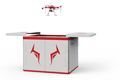
Fully Automated 24/7 Operations
-

Smart Command & Control Hub
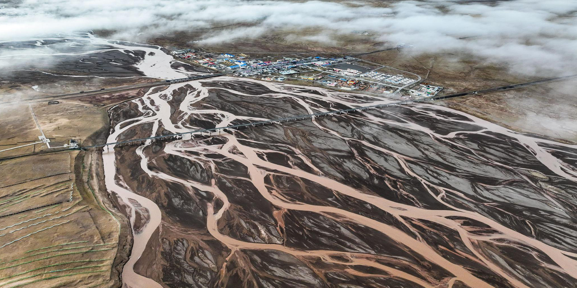
Designed and developed according to industry needs, suitable for multi-industry and multi-scenario applications.
The essence of UAV applications in ecological management is that they serve as the 'smart aerial eyes and hands' within an integrated 'air-space-ground' monitoring network, evolving from a single-point tool to a systematic, intelligent, and networked ecological IoT platform. The deep integration of UAVs with ground sensors, satellite remote sensing, and AI prediction models will achieve full-chain smart protection from monitoring and analysis to early warning and management, providing powerful technological support for safeguarding the Earth's biodiversity.
Based on industry operational requirements and targeting traditional operational pain points, we create scientific and efficient industry application solutions.

Limited monitoring range
Traditional manual patrols or fixed-point monitoring have limited coverage and cannot fully cover remote and rugged areas.

Single data dimension
Traditional text and photo records lack precise spatial positioning as well as quantitative and visualizable geographic information data.

High-risk environmental threats
Traditional manual patrol monitoring and management face safety threats such as harsh terrain, extreme weather, geological disasters, and wildlife.

Lagging management efficiency
Lack of comprehensive real-time data leads to delayed data updates and delayed disaster emergency response.
Based on real-world operational requirements and UAV application characteristics, break down the solution steps to make the solution implementable and more reliable.
Biodiversity monitoring and survey
Through high-altitude cruising and AI image recognition.
Through high-altitude cruising and AI image recognition, automatically count the number and distribution of wildlife.
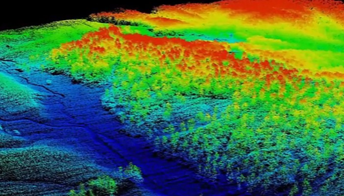
Through high-altitude cruising and AI image recognition, automatically count the number and distribution of wildlife, utilizing multi-spectral and LiDAR data.
Use multi-spectral and LiDAR data to map vegetation types, assess forest health, and estimate biomass.
Assess habitat quality and degree of fragmentation.
Ecological resource monitoring and management
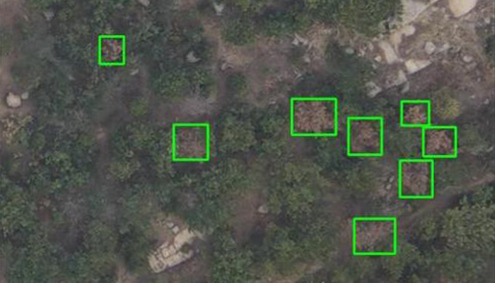
Regular automated patrol to monitor deforestation.
Early detection of pest and disease infestation through multi-spectral analysis.
Monitor water pollution through spectral analysis, thermal imaging, and other methods.
Use LiDAR to accurately measure forest volume and carbon storage.
Support carbon sink trading
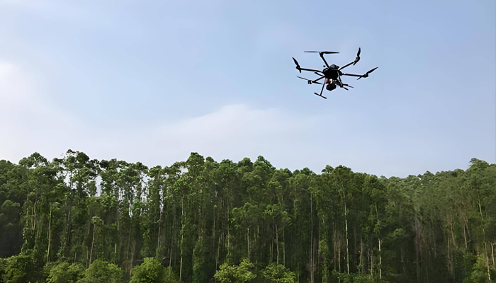
Ecological protection law enforcement
Preset flight routes and conduct automated patrols during peak poaching and illegal mining periods and in high-risk areas.
Thermal imaging cameras can detect human and vehicle activity at night.
Real-time alerts provide law enforcement agencies with precise coordinates and visual evidence.
Over 2,000 real-world validations — building industry UAV solutions that are effective, easy to use, and reliable in critical moments.

Wide-area coverage
Wide-area coverage: quickly patrol forests, wetlands, mountains, and other areas that are difficult to reach by traditional means.

High safety
Replace personnel operating in hazardous environments such as fires, contaminated areas, and poaching hotspots.

Cost-effectiveness
Lower long-term operating costs compared to traditional manual operations or manned patrols.

Multi-dimensional data
Can integrate multiple sensors such as visible light, multi-spectral, thermal imaging, LiDAR, etc.
UAV
CABIN
GROUND DEPLOYMENT
SOFTWARE
COPYRIGHT © 2016 Times Starlight All Rights Reserved 蜀ICP备14012971号-1