-
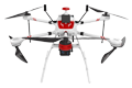
Inspection | Security | Logistics
-
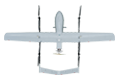
Forestry丨Surveying & Mapping
-
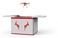
Fully Automated 24/7 Operations
-

Smart Command & Control Hub

Designed and developed according to industry needs, suitable for multi-industry and multi-scenario applications.
Oil, gas, and power line inspections are characterized by long distances, wide coverage, and high precision. Traditional manual inspections are time-consuming, labor-intensive, and inefficient. The TIM UAV can be equipped with a variety of sensors such as electro-optical gimbals and LiDAR, combined with artificial intelligence and data analysis, to completely transform traditional pipeline inspection models, achieving safer, more efficient, more accurate, and lower-cost pipeline operation and maintenance management.
Based on industry operational requirements and targeting traditional operational pain points, we create scientific and efficient industry application solutions.

Low efficiency
Manual inspection on foot or by vehicle is slow and has limited coverage for long-distance pipelines.

Hidden issues are difficult to detect
Hidden issues are difficult to detect: visual blind spots such as under pipelines and inside supports, as well as early subtle hazards, are hard to identify.

Slow emergency response
Slow emergency response: when a leak or third-party damage occurs, it takes a long time for personnel to arrive at the scene, making it impossible to quickly assess the disaster.
High cost
High cost: long-term investment in significant manpower, vehicles, and time, with fluctuating inspection quality.
Based on real-world operational requirements and UAV application characteristics, break down the solution steps to make the solution implementable and more reliable.
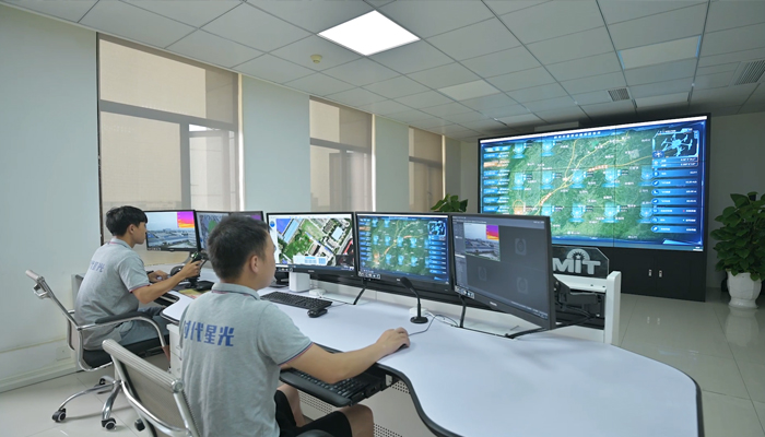
Automated mission planning
Through the Shiguang Cloud remote management and control platform.
Set key point coordinates according to the pipeline alignment.
Set flight route, flight altitude, speed, and shooting points.
Remotely issue inspection tasks.
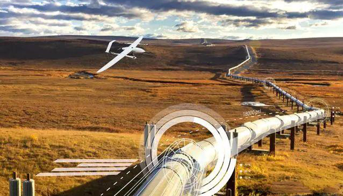
Automated data collection
Automated data collection
Collect high-definition photos, videos, thermal imaging data, and more.
Data is automatically and instantly transmitted back to the data processing platform at the remote command center.
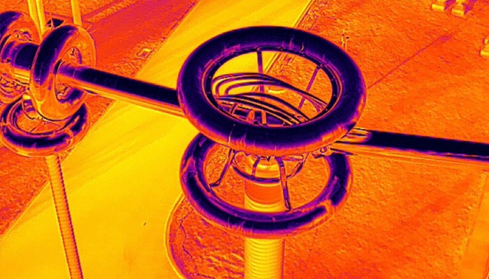
Data analysis and processing
The algorithm automatically identifies potential defects and risks.
And can quickly generate 3D models, point cloud maps, various panoramic images, and inspection reports.
Provide comprehensive data support for professionals.
Over 2,000 real-world validations — building industry UAV solutions that are effective, easy to use, and reliable in critical moments.

Fast, efficient and comprehensive coverage
Fast, efficient and comprehensive coverage. UAVs can reach speeds more than 10 times that of manual inspection, easily handling complex terrain and achieving rapid wide-area patrols.

Flexible flight, multi-angle shooting
Flexible flight, multi-angle shooting. UAVs can fly flexibly and capture images from various angles, using multiple sensors to detect hidden hazards that are difficult to spot with the naked eye.

Precision, High-Definition, and Intelligent Management
Generate quantifiable, traceable, and precise reports using high-definition imagery and sensor data, and establish a digital pipeline archive.

Rapid Response, Real-time Command
The UAV can take off quickly, reach the area above the accident site, and transmit real-time footage of the scene, providing first-hand information for decision-making.
UAV
CABIN
GROUND DEPLOYMENT
SOFTWARE
COPYRIGHT © 2016 Times Starlight All Rights Reserved 蜀ICP备14012971号-1