-
Inspection | Security | Logistics
-
Forestry丨Surveying & Mapping
-
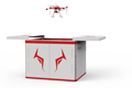
Fully Automated 24/7 Operations
-

Smart Command & Control Hub
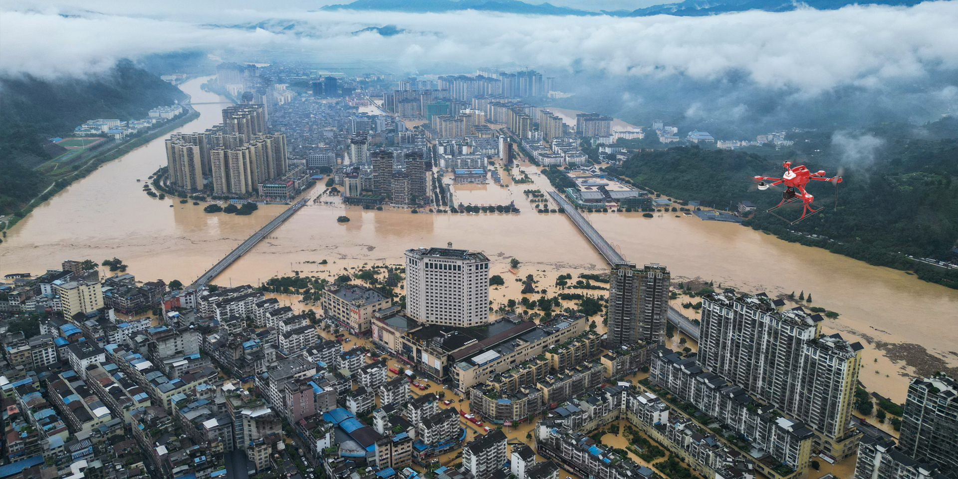
Designed and developed according to industry needs, suitable for multi-industry and multi-scenario applications.
Efficient reconnaissance and search and rescue are key to ensuring the safety of life and property in emergency disaster relief operations. Current traditional disaster relief models face numerous difficult challenges and pain points in transportation, communication, and safety assurance when responding to geological disasters such as earthquakes and floods. Through functions including electro-optical reconnaissance, radar detection, 3D simulation, and precision calculation, the TIM UAV builds a systematic reconnaissance and rescue solution that integrates multiple functions with high mobility, high efficiency, and low cost, becoming a key tool for breaking through traditional disaster relief bottlenecks.
Based on industry operational requirements and targeting traditional operational pain points, we create scientific and efficient industry application solutions.

Delayed information acquisition
After a disaster occurs, issues such as damaged roads and disrupted traffic make it difficult for rescue personnel to reach the scene quickly.

Limited reconnaissance methods
Manual surveys are inefficient and risky, unable to reach deep into hazardous areas, resulting in rescue decisions lacking accurate data support.

Personnel safety risks
High risk of secondary disasters, with casualty risks remaining persistently high under traditional disaster relief models."

Weak communication support
Damage to communication base stations and signal interruption in disaster areas prevent timely transmission of distress information and rescue progress.
Based on real-world operational requirements and UAV application characteristics, break down the solution steps to make the solution implementable and more reliable.
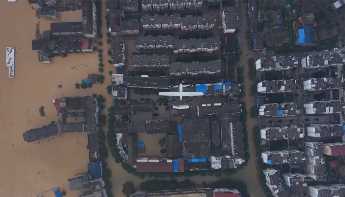
Disaster reconnaissance
UAVs use infrared thermal imaging, visible light, and other imaging equipment.
Quickly obtain image data of the disaster area.
Transmit in real time to the command center.
Obtain a full picture of the disaster situation at the earliest opportunity.
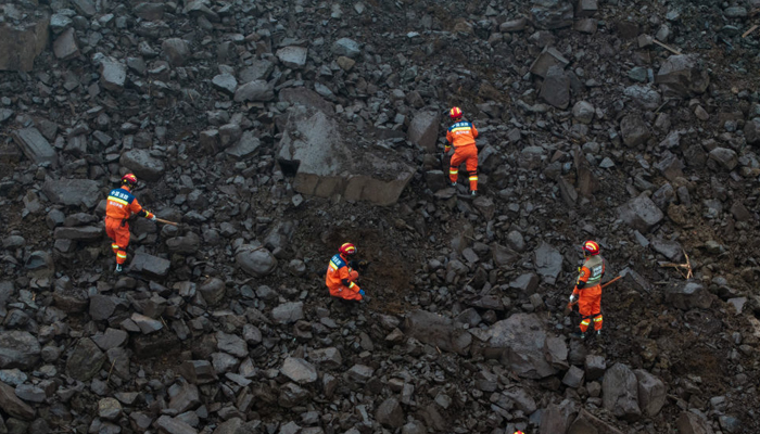
Personnel search and rescue
Real-time positioning of signs of life using infrared thermal imaging camera.
Identify secondary risk hazards
Real-time positioning of signs of life using infrared thermal imaging camera, identification of secondary risk hazards, rapid formulation of rescue plans, and precise execution of rescue operations.
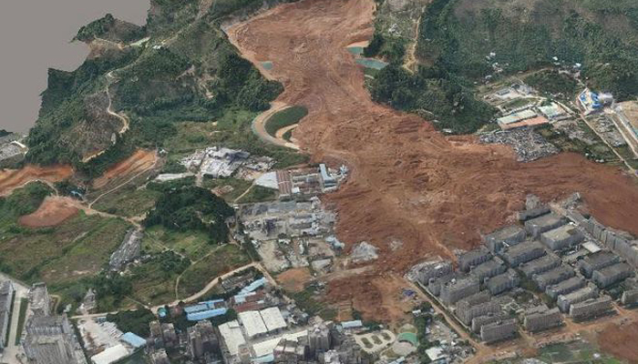
3D reconstruction
During major disaster search and rescue and post-disaster reconstruction processes.
Penetrate rubble and vegetation using LiDAR to generate 3D terrain models.
Achieve 'all-weather, full-area' precise reconnaissance.
Over 2,000 real-world validations — building industry UAV solutions that are effective, easy to use, and reliable in critical moments.

Multi-Dimensional Perception
Integration of visible light, infrared thermal imaging, LiDAR and other devices for multi-functional detection and perception.

Rapid Response
Capable of crossing complex terrain to reach the disaster area at the first opportunity.

Real-time transmission
Real-time transmission of disaster data to ground command stations and remote command and control centers, with multi-dimensional information fusion.

Intelligent Analysis
Using AI recognition technology to accurately identify, track, and locate signs of life, disaster epicenters, potential risks, and more.
UAV
CABIN
GROUND DEPLOYMENT
SOFTWARE
COPYRIGHT © 2016 Times Starlight All Rights Reserved 蜀ICP备14012971号-1