-
Inspection | Security | Logistics
-
Forestry丨Surveying & Mapping
-
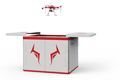
Fully Automated 24/7 Operations
-

Smart Command & Control Hub
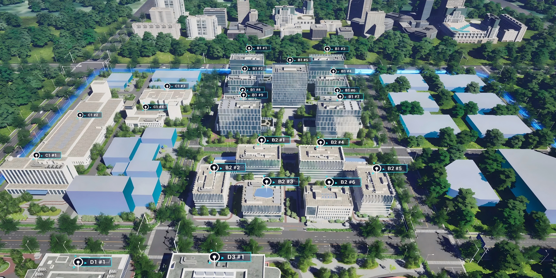
Designed and developed according to industry needs, suitable for multi-industry and multi-scenario applications.
Centered on the development of "Smart Urban Management," the UAV system serves as the "Eye in the Sky" and "Intelligent Hand" for urban management, building a new urban management model featuring "air-ground integration, human-machine collaboration, three-dimensional patrol, and rapid response." This achieves full coverage of management scope, no blind spots in problem detection, faster handling processes, and more precise law enforcement evidence collection.
Based on industry operational requirements and targeting traditional operational pain points, we create scientific and efficient industry application solutions.

Limited field of view and scope
Manual patrols make it difficult to quickly grasp the full picture of a large area, resulting in fragmented management and many blind spots.

Weak decision-making and analysis
Reliance on manual reports and subjective descriptions leads to a lack of objectivity in data, making it difficult to obtain systematic urban operation data.

Efficiency and response lag
"Patrol on foot or by vehicle" is time-consuming and labor-intensive, making it impossible to achieve high-frequency, full-coverage inspection, resulting in delayed problem detection.

Difficulty in evidence collection and law enforcement
Evidence collection for dynamic violations is incomplete and discontinuous, and it is difficult to obtain key evidence for concealed violations.
Based on real-world operational requirements and UAV application characteristics, break down the solution steps to make the solution implementable and more reliable.

Urban environment inspection
In key areas such as densely populated areas and urban-rural fringes
Deploy unattended drone dock systems
Regularly inspect illegal construction, exposed garbage, spillage, and other phenomena
Automatically identify new illegal construction through image comparison
Achieve "discovery in the bud, prevention at the initial stage"

Municipal facility inspection
Regularly inspect municipal facilities such as bridges, streetlights, guardrails, and bus platforms
Assess the green coverage rate of municipal gardens, tree growth, and pest and disease conditions
Monitor illegal logging and acts of damaging green spaces

Public order management
Conduct aerial monitoring of commercial streets, subway entrances, parks and plazas during peak hours, providing early warning and evidence collection
Quickly assess the accumulation of shared bikes and parking order in key areas
Provide data support for dispatching and clearing operations
Rapidly locate fire points from burning straw, garbage, etc.
Assist in monitoring the illegal direct discharge of cooking fumes

Intelligent decision support
Conduct periodic oblique photography of key areas to generate realistic 3D models
Used for planning analysis, demolition quantity calculation, and historical state backtracking
Automatically identify and count specific targets, and generate analysis reports
Over 2,000 real-world validations — building industry UAV solutions that are effective, easy to use, and reliable in critical moments.

Three-dimensional patrol
Efficient inspection, wide-area coverage, and multi-dimensional perception achieved by various detection devices, breaking through the limitations of the naked eye and visible light.

Efficient operation
A single UAV can cover an area in one day equivalent to dozens of grid inspectors, improving inspection and response efficiency by 5-10 times.

Precise evidence collection
Comprehensive data, precise positioning, and real-time transmission of operational footage provide accurate data and scientific basis for law enforcement.

Intelligent Management
Massive image data combined with AI algorithms automatically generates case reports and 3D spatiotemporal image archives, providing systematic data support for refined urban governance.
UAV
CABIN
GROUND DEPLOYMENT
SOFTWARE
COPYRIGHT © 2016 Times Starlight All Rights Reserved 蜀ICP备14012971号-1