-
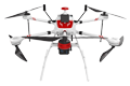
Inspection | Security | Logistics
-
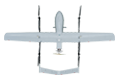
Forestry丨Surveying & Mapping
-
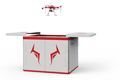
Fully Automated 24/7 Operations
-

Smart Command & Control Hub
Designed and developed according to industry needs, suitable for multi-industry and multi-scenario applications.
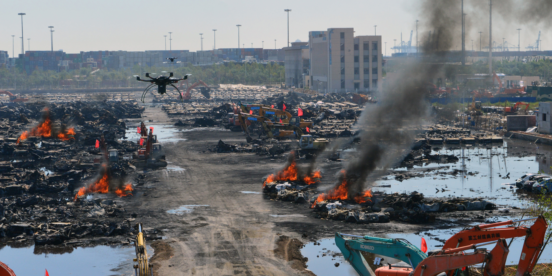
With its rapid mobility and wide coverage, UAVs are widely used in emergency monitoring operations. The TIM UAV Emergency Monitoring Solution, with the UAV system as its core, integrates advanced sensors, communication technologies, and AI algorithms to establish an integrated emergency response workflow of 'monitoring – transmission – analysis – early warning – command,' completing pre-disaster monitoring and early warning as well as post-disaster damage assessment and secondary disaster monitoring and early warning tasks.
Based on industry operational requirements and targeting traditional operational pain points, we create scientific and efficient industry application solutions.

Numerous information blind spots
Traditional manual patrols or fixed monitoring points are limited by geographical conditions and infrastructure networks, making full coverage difficult.

Delayed information and decision-making
Long information transmission chains and a lack of intuitive, three-dimensional, real-time panoramic views lead to delayed decision-making at the command center.

High safety risks
After a disaster occurs, traditional manual monitoring and surveying may face the threat of secondary disasters.

High labor and cost
Building and maintaining a wide-coverage fixed monitoring network requires significant upfront investment. Large-scale manual patrols demand substantial manpower and are inefficient.
Based on real-world operational requirements and UAV application characteristics, break down the solution steps to make the solution implementable and more reliable."
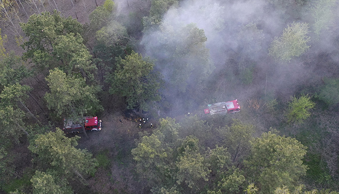
Pre-disaster preventive detection
Deploy the TIM-A300 unattended system in key areas
UAVs conduct regular patrols of key areas through remote missions.
Obtain high-precision terrain data via LiDAR to analyze disaster risks.
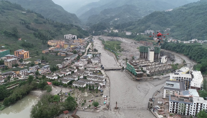
In-disaster emergency response
UAVs transmit panoramic video and orthophoto maps in real time.
AI models automatically identify secondary disaster risks.
Real-time acquisition of panoramic information of the disaster area.
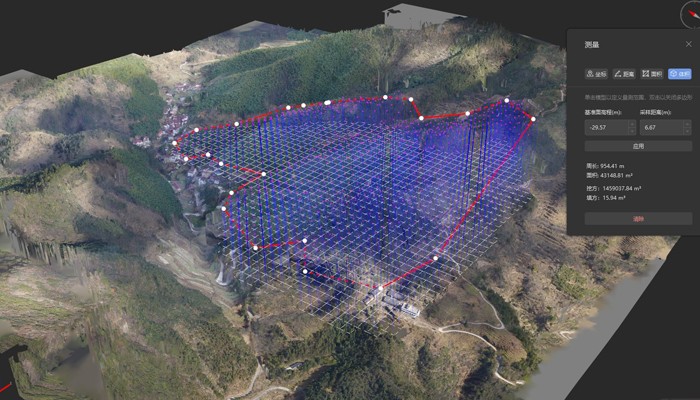
Post-disaster assessment and reconstruction
Perform high-precision 3D modeling of the disaster area.
Measure earthwork volume, affected area, and building and geological deformation data.
Accurately assess damage, providing precise data support for disaster assessment and reconstruction planning.
Over 2,000 real-world validations — building industry UAV solutions that are effective, easy to use, and reliable in critical moments.

Rapid response
UAVs can take off within minutes after receiving an alert and quickly reach hazardous areas that are difficult for personnel to access.

Full-domain perspective
Provide a high-altitude, wide-area global perspective as well as close-range reconnaissance detail, overcoming terrain limitations.

Multi-dimensional data
Equipped with various sensors including visible light, thermal imaging, multi-spectral, and gas detection, to obtain multi-dimensional on-site data.

Intelligent decision-making
AI-based real-time data analysis automatically identifies risk points and tracks dynamic changes, providing scientific basis for command decision-making.
UAV
CABIN
GROUND DEPLOYMENT
SOFTWARE
COPYRIGHT © 2016 Times Starlight All Rights Reserved 蜀ICP备14012971号-1