-
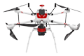
Inspection | Security | Logistics
-
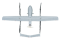
Forestry丨Surveying & Mapping
-
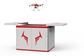
Fully Automated 24/7 Operations
-

Smart Command & Control Hub
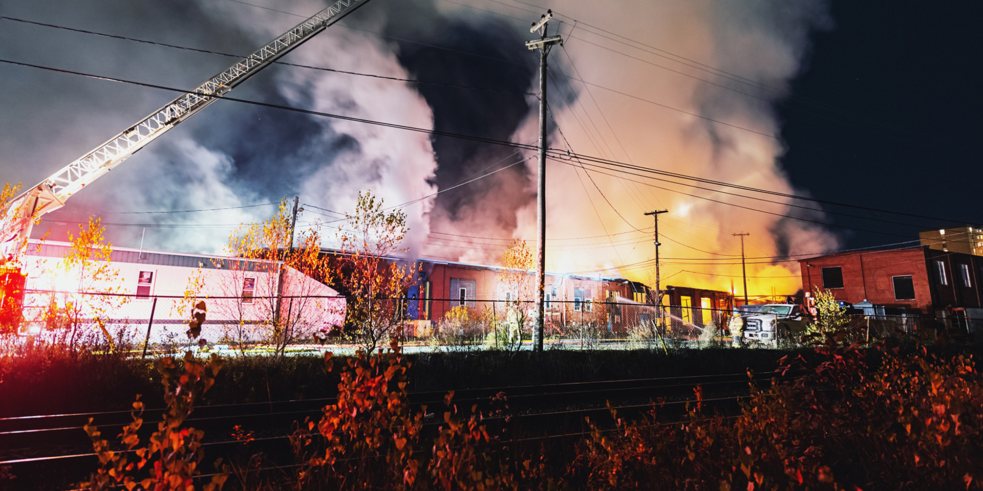
Designed and developed according to industry needs, suitable for multi-industry and multi-scenario applications.
Hazardous chemical firefighting represents a quintessential high-risk environment. Conventional manual approaches are confronted with 'invisible threats,' leading to poor efficiency, prohibitive costs, and immense operational challenges. Serving as a smart aerial platform that combines sensing, analytics, and intervention capabilities, the TIM UAV significantly improves the scientific rigor, operational safety, and overall effectiveness of emergency response.
Based on industry operational requirements and targeting traditional operational pain points, we create scientific and efficient industry application solutions.

Limited critical response capabilities
Difficulties in approaching, covering, and sealing leak points at fire locations such as high-altitude fire points, high-radiation areas, deep leakage points, and large storage tanks.

Extremely high personnel safety risks
Firefighters are required to conduct close-range reconnaissance, exposing themselves to direct threats from toxic gases, explosion shockwaves, high-temperature radiation, and corrosive chemicals, resulting in extremely high casualty risks.

Difficulty in dynamic tracking
Difficulty in real-time, intuitive tracking of hazardous chemical leakage risks, gas diffusion paths, fire spread directions, and secondary disaster risks, resulting in limited response capabilities and delayed action by firefighters.

High comprehensive emergency response costs
The huge consumption of manpower, material resources, and financial resources for personnel protection, heavy equipment mobilization, and prolonged operations has far-reaching social impacts.
Based on real-world operational requirements and UAV application characteristics, break down the solution steps to make the solution implementable and more reliable.
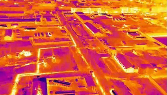
Fire point and hazard reconnaissance
Infrared camera penetrates smoke to identify hidden fire points.
Monitor temperature changes of storage tanks/reactors.
Early warning of boiling over, splashing, and physical explosion risks.
Detect thermal anomalies in pipes and valves, and locate small leakage points.
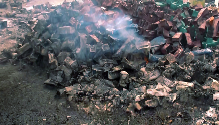
Gas detection and identification
Equipped with a gas detection pod for qualitative and quantitative detection of VOCs and combustible gases.
Concentration of toxic gases (e.g., H₂S, NH₃, Cl₂)
Real-time display of contamination cloud movement paths and hazardous zones.
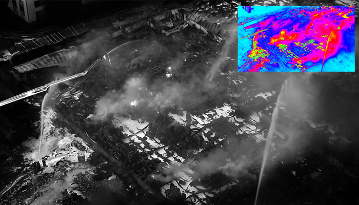
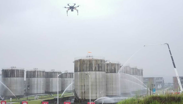
Fire suppression and cooling
Firefighting UAVs equipped with dry powder and foam extinguishing agents approach the fire point for precision suppression.
Hover above fixed-roof storage tanks or equipment.
Provide continuous cooling or foam coverage to prevent boiling over.
Leak emergency response
Carry leak sealing tools or lighting equipment and fly near the leakage point.
Provide visual support for remote leak sealing operations.
Drop emergency materials such as oil-absorbing pads and solidifying agents onto liquid leaks.
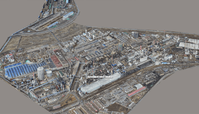
Assessment and review
Use UAVs to perform high-precision 3D modeling.
Record the original state of the accident scene and compare thermal images before and after the response.
Confirm extinguishment of open flames and cooling effectiveness, and assist in post-incident cause analysis.
Over 2,000 real-world validations — building industry UAV solutions that are effective, easy to use, and reliable in critical moments.

Unmanned approach, safe operation
Deploy UAVs to replace personnel in entering the most hazardous areas (explosion epicenter, toxic zones) to perform reconnaissance and monitoring tasks, achieving an 'unmanned' initial response and minimizing personnel risks.

Rapid, three-dimensional, flexible, and precise
Ready for takeoff within 3–5 minutes to seize the 'golden ten minutes' reconnaissance window, providing a 360° aerial panoramic view and accurately identifying fire points and equipment hazards.

Cost reduction, efficiency improvement, and multi-mission capability
A single mission can accomplish multiple objectives including reconnaissance, monitoring, and response assistance, significantly improving emergency response efficiency while reducing casualty risks and overall social costs in the long run.

Data-driven scientific decision-making
UAV reconnaissance and monitoring data is transmitted back in real time, providing full-process visual data support to scientifically delineate cordon zones and evacuation ranges, and optimize force deployment and tactical choices.
UAV
CABIN
GROUND DEPLOYMENT
SOFTWARE
COPYRIGHT © 2016 Times Starlight All Rights Reserved 蜀ICP备14012971号-1