-
Inspection | Security | Logistics
-
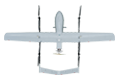
Forestry丨Surveying & Mapping
-
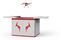
Fully Automated 24/7 Operations
-

Smart Command & Control Hub

Designed and developed according to industry needs, suitable for multi-industry and multi-scenario applications.
Traditional engineering project construction management involves complex processes, strong subjectivity, and a lack of systematic data support. UAVs provide a 'God's-eye view' for efficient data collection and analysis throughout the entire lifecycle of engineering construction, including survey, design, construction, operation, and maintenance.
Based on industry operational requirements and targeting traditional operational pain points, we create scientific and efficient industry application solutions.

Delayed and distorted information
Relies on manual patrols, photography, and meeting reports, resulting in slow data updates, susceptibility to distortion, and inability to grasp the overall situation in real time.

Earthwork measurement errors
Traditional GPS-RTK point marking or total station surveying is inefficient, has few sampling points, and cannot reflect the true terrain.

Difficulty in problem traceability
Difficulty in problem traceability: lack of process image data makes it difficult to trace the specific time and link where a problem occurred, leading to unclear definition of responsibilities.

Lack of systematic data
Traditional construction safety risk assessment relies on manual experience, is highly subjective, and lacks systematic data support.
Based on real-world operational requirements and UAV application characteristics, break down the solution steps to make the solution implementable and more reliable.
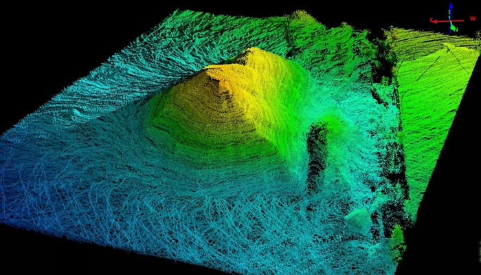
Topographic mapping and earthwork measurement
UAV equipped with orthophoto cameras, LiDAR, and other devices.
Quickly generate high-precision orthophoto maps, Digital Elevation Models (DEM), and contour maps.
Accurately calculate cut and fill volumes and optimize the site leveling plan.
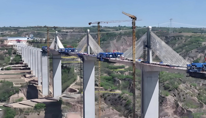
Engineering progress monitoring
During engineering construction, UAVs perform regular inspections and aerial photography.
Generate orthophoto maps of construction progress.
Overlay and compare with BIM models or plan drawings.
Enable visual progress control
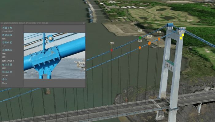
Safety and Quality Management
Regular UAV monitoring of formwork support, scaffold safety, and geological stability.
UAVs regularly inspect formwork support, scaffold safety, and geological stability.
Closely identify cracks, corrosion, and other defects in towers, bridges, and other structures.
Monitor safety compliance at construction sites and automatically detect intrusions into hazardous areas.
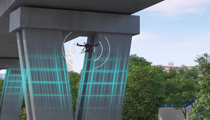
运维验收管理
Operation, maintenance, and acceptance management
Quickly generate as-built drawings and realistic 3D models.
Regular flights for later-stage operation and maintenance of buildings, slopes, dams, and other infrastructure.
Monitor minor displacement and deformation through data comparison.
Over 2,000 real-world validations — building industry UAV solutions that are effective, easy to use, and reliable in critical moments.

Real-time data, accurate and reliable
Real-time access to macro-level, full-area project data. Accurate measurement of coordinates, elevation, length, area, and volume. Earthwork calculation accuracy reaches centimeter level.

Cost reduction, efficiency improvement, safety and high performance
UAV surveying and mapping efficiency is 5-10 times that of manual work, significantly reducing labor costs and time costs.

Digital archiving, traceable process
Each flight is a complete 3D digital archive, providing an immutable 'digital asset' for final settlement, project auditing, and later-stage operation and maintenance.

Deep integration, collaborative sharing
The realistic 3D models generated by UAVs can be easily integrated with BIM, GIS, and project management software to form a unified 'digital twin' platform.
UAV
CABIN
GROUND DEPLOYMENT
SOFTWARE
COPYRIGHT © 2016 Times Starlight All Rights Reserved 蜀ICP备14012971号-1