-
Inspection | Security | Logistics
-
Forestry丨Surveying & Mapping
-
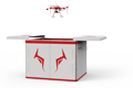
Fully Automated 24/7 Operations
-

Smart Command & Control Hub
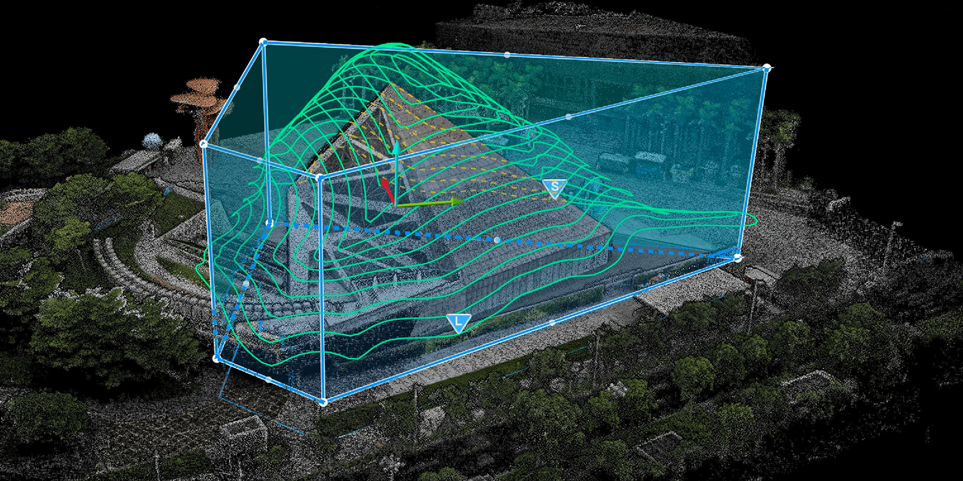
Designed and developed according to industry needs, suitable for multi-industry and multi-scenario applications.
By providing precise spatiotemporal data from a "God's-eye view," UAVs push planning from a "static blueprint" toward "dynamic, refined, and intelligent" precision governance. They are a key supporting technology for achieving perceptible, learnable, well-governed, and adaptive smart planning, and serve as an important engine for modernizing the territorial spatial governance system and governance capabilities.
Based on industry operational requirements and targeting traditional operational pain points, we create scientific and efficient industry application solutions.

Single data dimension
Traditional surveying and mapping mainly provide 2D line drawings and discrete point elevations, lacking realistic 3D information.

Deviation in indicator calculation
Key indicators such as floor area ratio, greening rate, and earthwork volume are often based on estimates or simplified models, resulting in deviations.

Difficulty in dynamic updating
Traditional methods are difficult to achieve large-scale, high-frequency dynamic monitoring, resulting in outdated planning base maps.

High surveying and mapping costs
High-precision surveying relies on ground-based manual methods such as total stations and RTK, which are extremely inefficient and costly.
Based on real-world operational requirements and UAV application characteristics, break down the solution steps to make the solution implementable and more reliable.
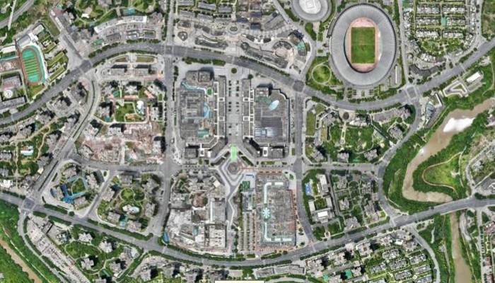
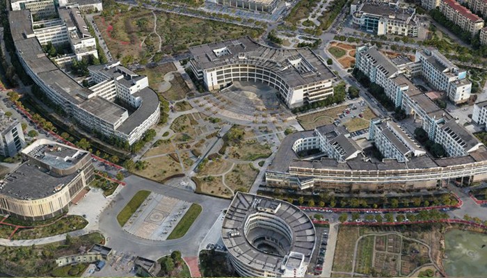
High-precision map collection
Quickly acquire massive amounts of data including centimeter-level orthophotos, 3D real-scene models, and laser point clouds.
Serve as a unified base map for planning work.
Provide accurate DEM/DOM data for planning and design schemes.
Used for site analysis and vertical design.
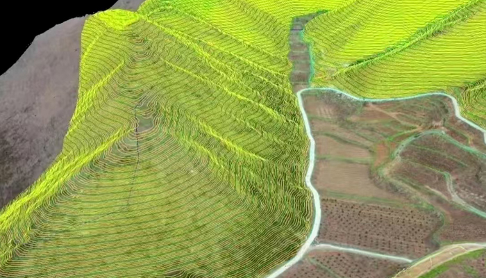
Natural resource survey
UAVs combined with AI algorithms
Automatically identify types and changes of farmland, forestland, construction land, water areas, etc.
Estimate forest volume, monitor pests and diseases, and map reservoirs and river shorelines
Monitor changes in water area and water pollution
Planning and design assistance
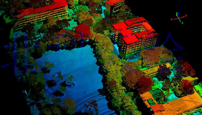
Based on 3D models
Calculate key indicators such as building area, floor area ratio, green space ratio, and building density
Assist in corridor route selection, construction project supervision, planning implementation effect evaluation, and other tasks
Regulatory enforcement evidence collection
Compare with planning permit drawings, regularly monitor compliance of ongoing construction projects
Conduct periodic patrols of key controlled areas
Timely detect and stop illegal occupation and damage activities
Provide clear image evidence with coordinates and timestamps for illegal land use and illegal construction activities
Over 2,000 real-world validations — building industry UAV solutions that are effective, easy to use, and reliable in critical moments.

Rapid response, dynamic updating
Adaptable to high-frequency, routine monitoring, achieving dynamic updating of key areas.

God's-eye view, full-area coverage
Unhindered by terrain obstacles, completing geographic data collection of all elements from a full-area perspective.

High-precision real-scene, multi-dimensional perception
Establish high-precision 3D real-scene models, enabling the public and decision-makers to experience immersive multi-dimensional perception.

Accurate calculation, cost reduction and efficiency improvement
Automatically perform accurate calculation of key data, reducing overall costs by 50-70%.
UAV
CABIN
GROUND DEPLOYMENT
SOFTWARE
COPYRIGHT © 2016 Times Starlight All Rights Reserved 蜀ICP备14012971号-1