-
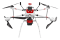
Inspection | Security | Logistics
-
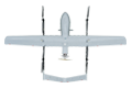
Forestry丨Surveying & Mapping
-
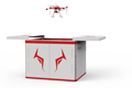
Fully Automated 24/7 Operations
-

Smart Command & Control Hub
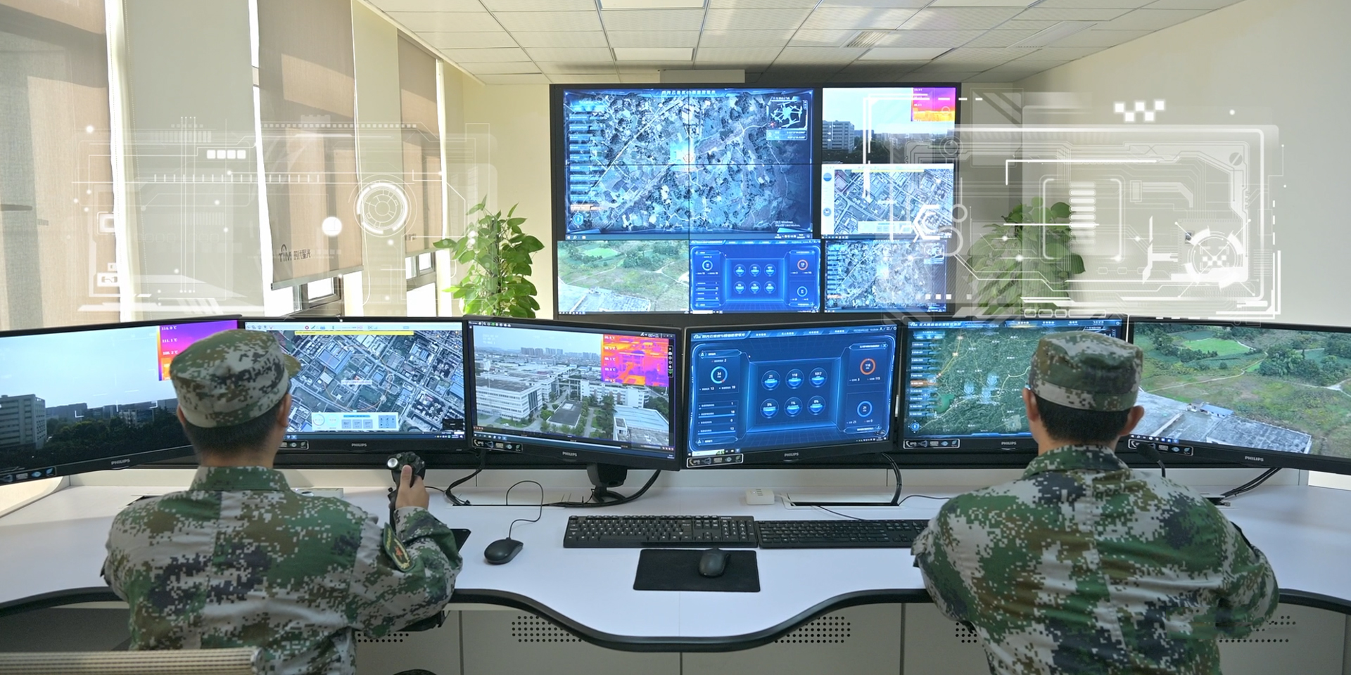
Designed and developed according to industry needs, suitable for multi-industry and multi-scenario applications.
Under the wave of the low‑altitude economy, the number of aircraft is surging and application demand is exploding. Local governments face regulatory challenges such as airspace management, coordination of application scenarios, aircraft supervision, and data integration and utilization. This solution, through the TIM S200 Air‑Space‑Ground Integrated AI Command and Control System, builds a supervision system of "one cloud, one network, one platform, multiple terminals", helping local governments establish a comprehensive low‑altitude economy supervision system, forming a "one‑network, multi‑functional, full‑coverage" low‑altitude economy area supervision solution.
Based on industry operational requirements and targeting traditional operational pain points, we create scientific and efficient industry application solutions.

Complex airspace management
The large number and wide variety of aircraft, along with diverse application demands, present multifaceted and complex challenges for airspace management.

Difficulty in aircraft supervision
Aircraft differ significantly in terms of technology, application environment, communication systems, and other aspects.

Coordination of application scenarios
Various low‑altitude application projects and scenarios are fragmented, lacking coordinated dispatching and systematic development planning.

Low data utilization rate
Insufficient coordination at the application level leads to scattered data, making it difficult to establish a systematic database and information network.
Based on real-world operational requirements and UAV application characteristics, break down the solution steps to make the solution implementable and more reliable
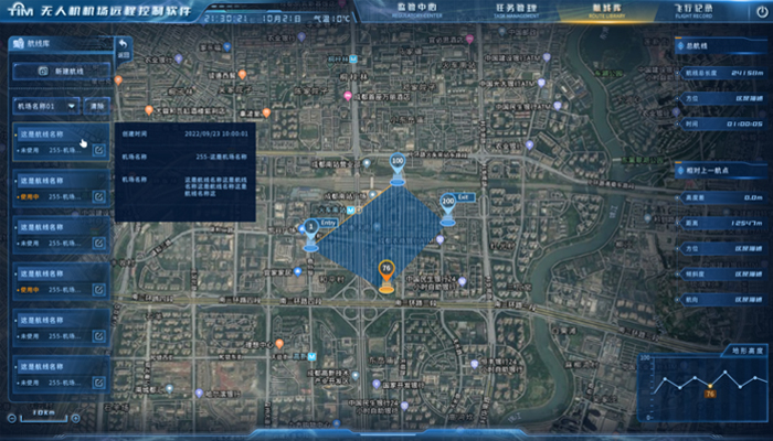
Low-altitude airspace supervision
By establishing a 3D high-precision airspace map
Integrate with the civil aviation management system to achieve supervision of low-altitude airspace
Real-time display of no-fly zones, restricted areas, danger zones, and airspace routes
Real-time supervision of UAV flight routes and airspace within the jurisdiction
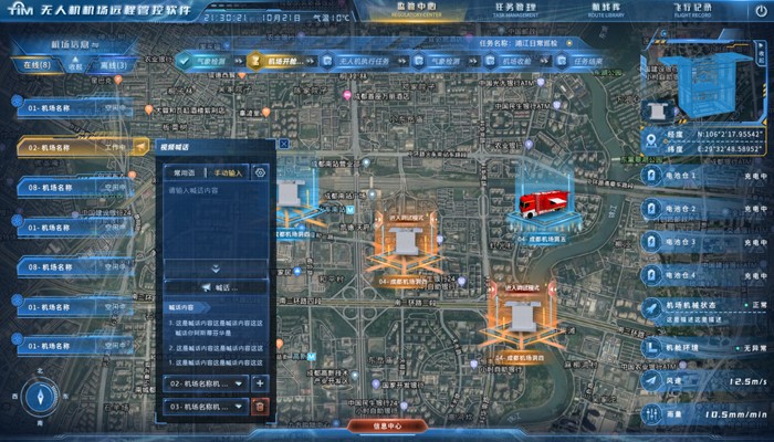
Infrastructure construction management
Based on classified airspace management and application scenario requirements
Formulate infrastructure construction plans for takeoff/landing sites, logistics distribution points, smart drone airports, etc.
Achieve comprehensive planning and management of low-altitude economy infrastructure across the entire area
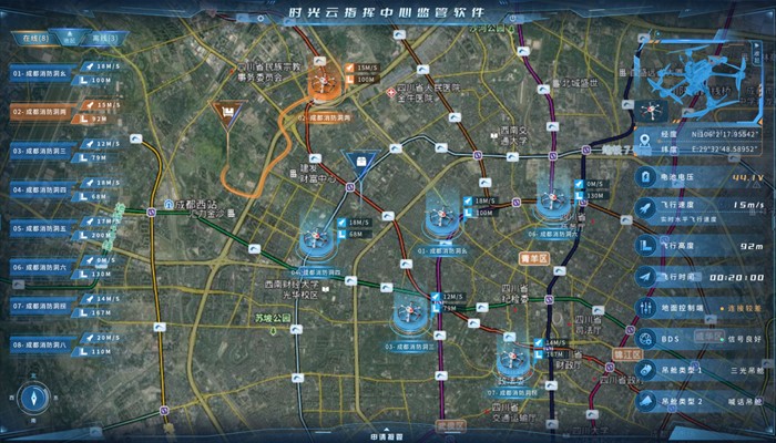
Aircraft swarm management and control
Capable of accessing thousands of aircraft of various brands
Monitor aircraft positioning information, flight mission data, flight status data, heading information, etc.
And enable real-time takeover control
Achieve swarm management and remote real-time control of all aircraft across the entire area

Intelligent mission management and control
Remotely deploy aircraft and smart drone dock missions through the Shiguang Cloud Platform
Set mission routes and mission frequencies
Real-time data transmission during mission execution
Remote real-time supervision and control
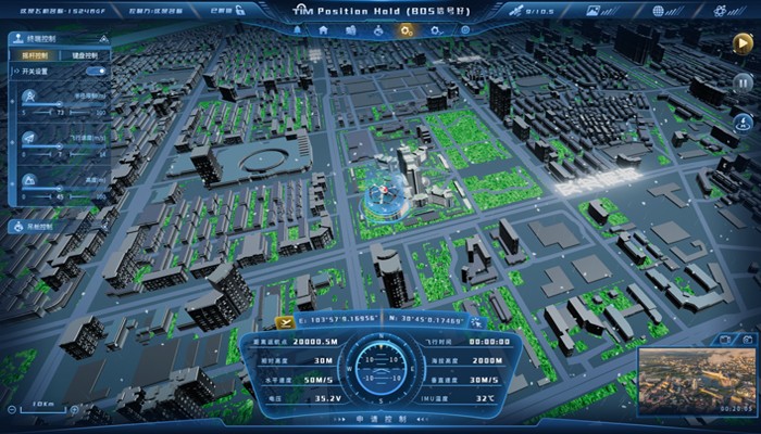
Intelligent data processing
All connected aircraft mission data is transmitted back in real time and stored in the remote command and control center
Combined with AI algorithms to perform intelligent recognition and processing based on industry application requirements
Integrate with the local big data platform to achieve unified supervision and processing of all low‑altitude operation data
Achieve unified management of multi‑industry low‑altitude application data on a single network, forming a comprehensive low‑altitude database
Over 2,000 real-world validations — building industry UAV solutions that are effective, easy to use, and reliable in critical moments.

Swarm control, multi-dimensional management
Swarm control of all aircraft across the entire area, with horizontal integration of relevant command networks, video systems, and data systems, forming a multi-dimensional management network.

Remote deployment, real-time command and control
Unified dispatch and management by the remote command and control center, with real-time synchronization of relevant infrastructure, aircraft, airspace data, and operational data.

Multi-dimensional data, efficient utilization
Unified management of all low-altitude data on a single network, classified processing, and on-demand access, greatly improving the utilization rate of low-altitude data and promoting the digital and intelligent upgrading of government administration.

Multi-level permissions, ensuring security
Supports multi-level organizational supervision with different permissions, as well as individual users' business and data ownership needs, ensuring the safety of low-altitude operations and system data security.
UAV
CABIN
GROUND DEPLOYMENT
SOFTWARE
COPYRIGHT © 2016 Times Starlight All Rights Reserved 蜀ICP备14012971号-1