-
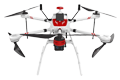
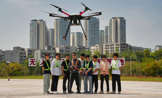
Inspection | Security | Logistics
-
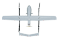
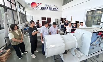
Forestry丨Surveying & Mapping
-

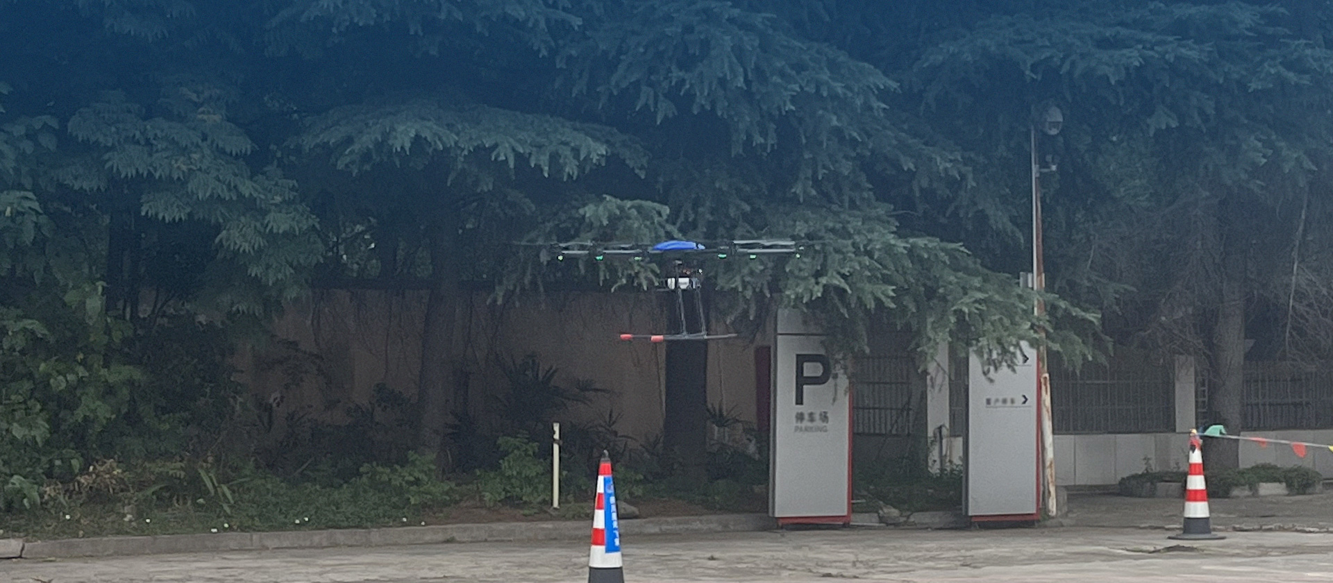
Fully Automated 24/7 Operations
-

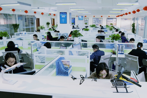
Smart Command & Control Hub
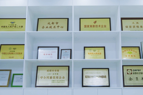
CAAC Civil Aviation Administration unmanned aircraft license, AOPA Unmanned Aircraft Certification Certificate
COPYRIGHT © 2016 Times Starlight All Rights Reserved 蜀ICP备14012971号-1